How to install?
-
General assessment:
- Android versions:
2.1 and higher - Category:
Programs » Journeys - Developer:
OsmAnd - Languages:
- The size:
87,2 МБ - Views:
11765 - Show all


OsmAnd Maps and Navigation 4.1.11
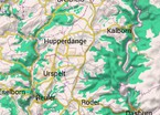
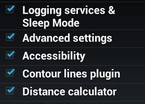
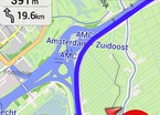
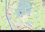
This application is designed to determine the location using electronic maps, in which you can plot a further route to the goal and calculate the approximate travel time. This application provides for working with vector maps without Internet access, in offline mode you can plot a route for an average distance. In the application, you can change modes such as: pedestrian, car, bicycle, there is also an automatic switch from the daytime mode of drawing maps to the night. The latest version of the app OsmAnd Maps and Navigation download for android.
Download OsmAnd Maps and Navigation on android
- Program version: 4.1.11
- Downloaded: 408
Download the app OsmAnd Maps and Navigation from …
Show completely ...
- Comments from the site
Adding a comment
English
Your phone

Best
- Minecraft 1.14.0.9
- Vkontakte 5.46
- Lucky Patcher 8.5.7
- VK mp3 mod 93/655
- Terraria 1.3.0.7.4
- VK Coffee 7.91
- GTA San Andreas 2.00
- Kate Mobile 53.3
- Pokemon GO 0.157.1
- Freedom 1.8.4
- Google Play Store 17.9.17
- VK App 4.0
- Sims 5.47.1
- Shadow Fight 2 2.0.4
- Last Day on Earth: Survival 1.14.4
- My Telling Angela 4.4.2.451
- Subway Surfers 1.113
- Dream League Soccer 6.13
- Geometry Dash 2.10
- Hungry Shark Evolution 7.0

